


How are Natural Hazards Impacting your Property?
The Geospatial Timeline links historical hazard events, satellite imagery, and agricultural observations to show how environmental events have affected your property and how the land has recovered over time.
Importance
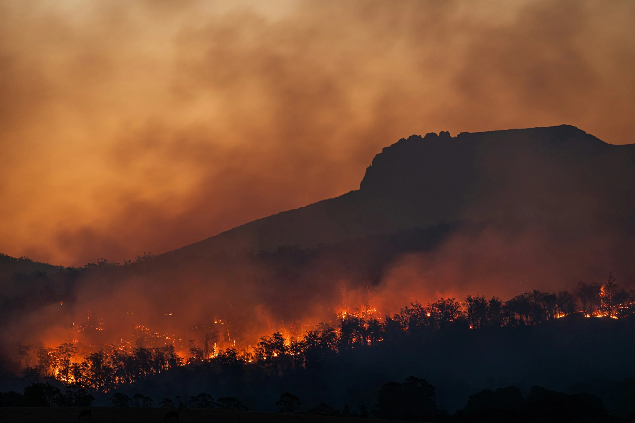
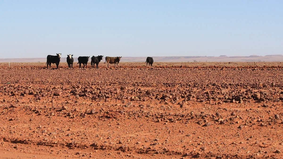
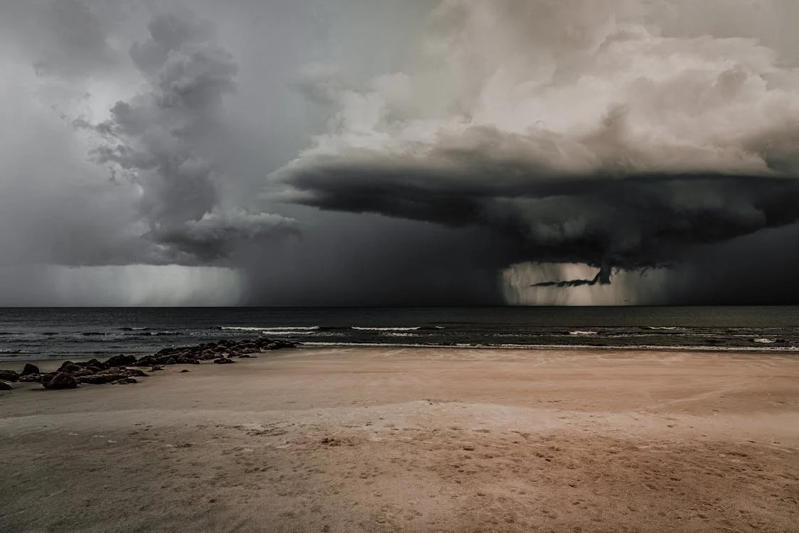
Natural hazards can significantly affect agricultural productivity, soil condition, and land management decisions. Events such as droughts, floods, cyclones, and bushfires have disrupted agricultural operations across Australia by damaging vegetation, soils, and infrastructure.
Understanding how often these hazards occur—and how land responds to them—provides valuable insight into the long-term resilience of agricultural land.
Insights
The timeline identifies:
How frequently hazards have impacted the property
The extent of land affected during each event
How vegetation and productivity changed after the event
How long it took the land to recover to a arable and productive state
Analysis
Decades of satellite observations from systems such as the Landsat program and Sentinel-2 are combined with historical hazard databases.
The Geospatial Timeline connects these events with observed changes in vegetation and land condition to show how the property responded over time.
Hazards
The Geospatial Timeline is able to detect assess the impacts of the following hazards;
Drought
Bushfire
Cyclone
Flooding/Water Inundation