

Ag Atlas offers a wide range of custom mapping and analysis services, with tailored quotes and project scopes designed to meet the specific needs of each property.
View our full range of services below.
Unsure how we can help? Send us an email to arrange a free 30 minute online consultation.
Explore what we offer
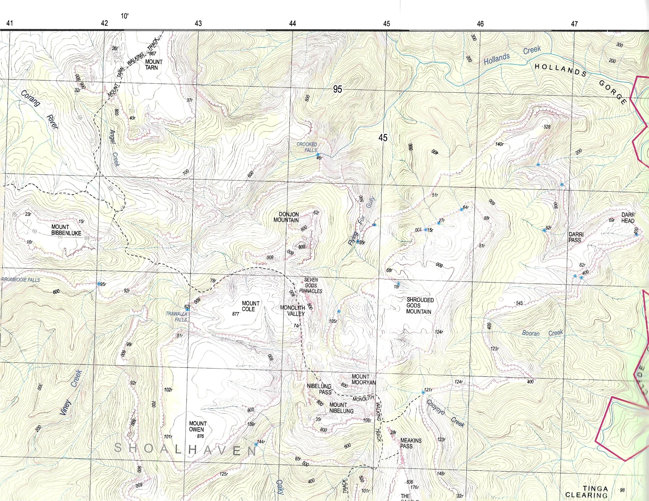
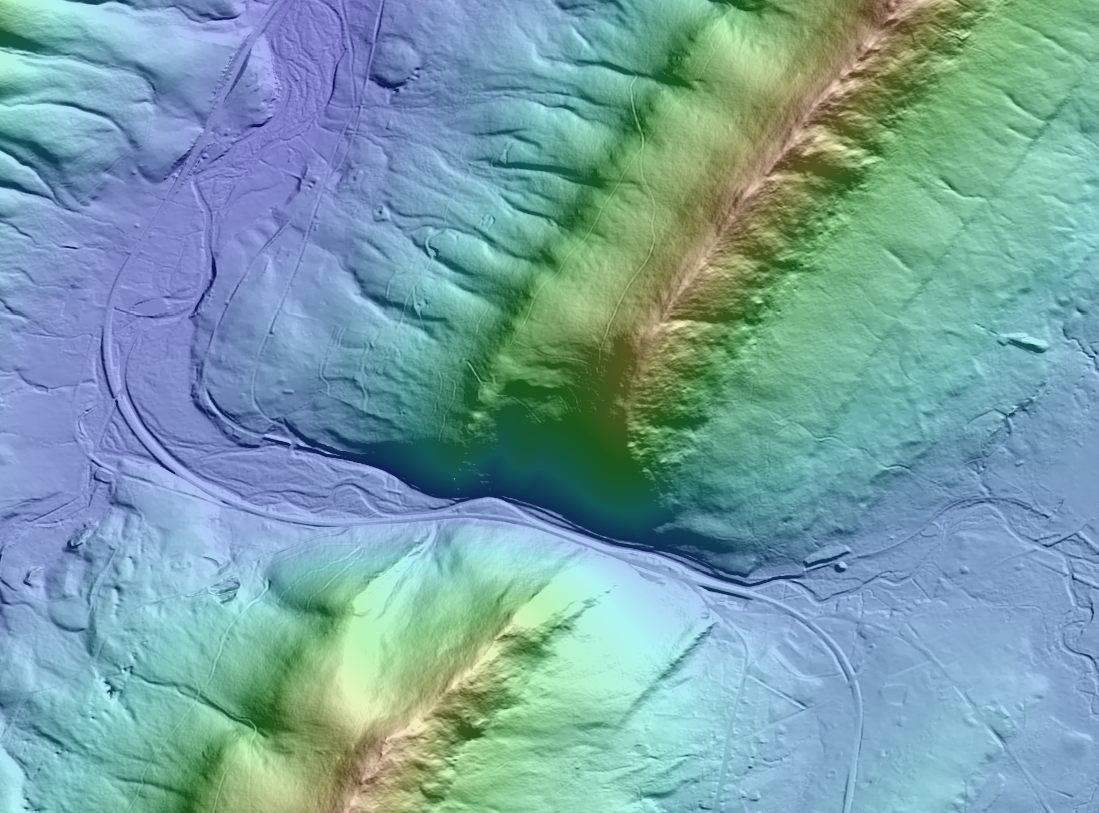
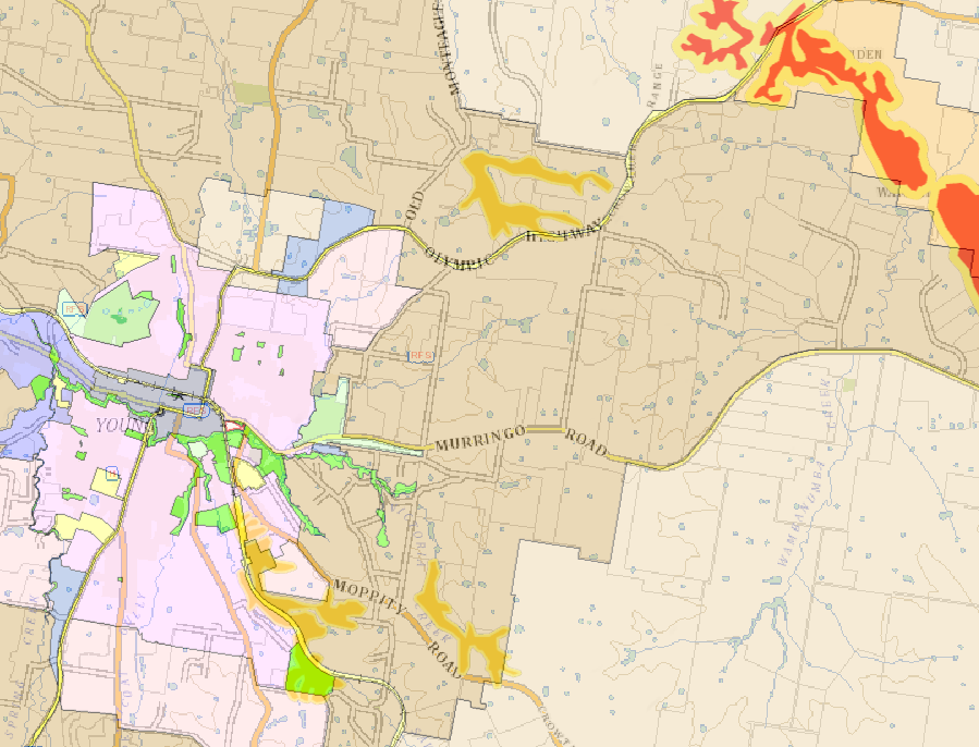
Detailed Geographical Maps
Want to understand how your property is really shaped? More than 20 topographical layers available.
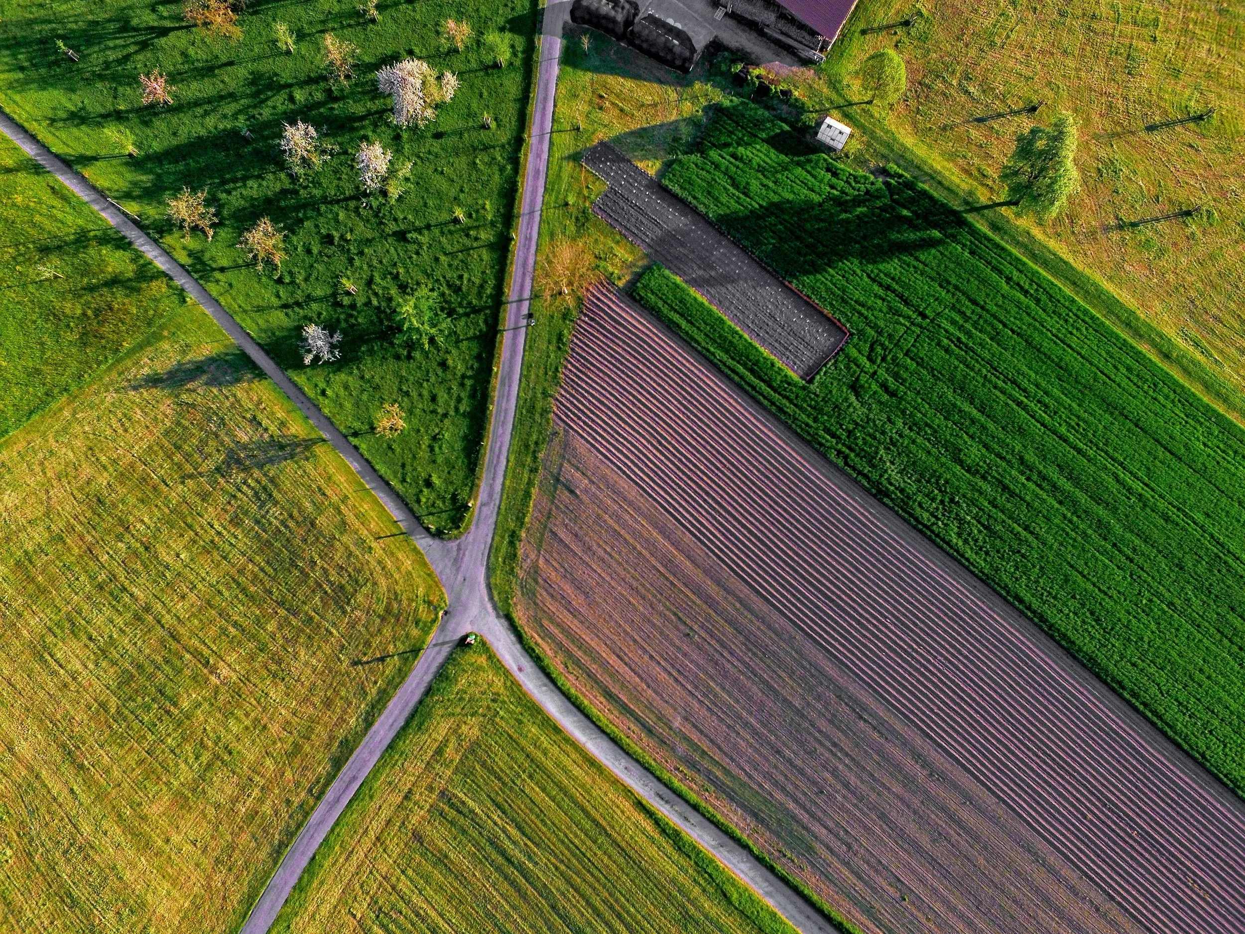
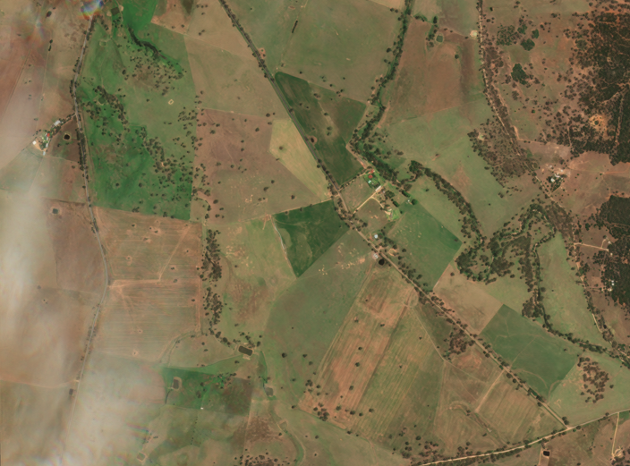
Advanced Land Cover Mapping
What condition is your property currently in? See the moisture content, vegetation health and much more.
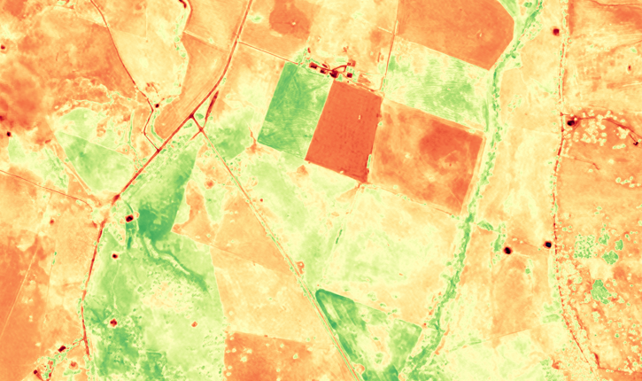
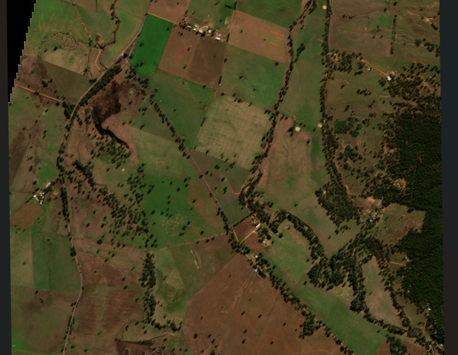
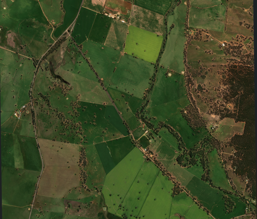
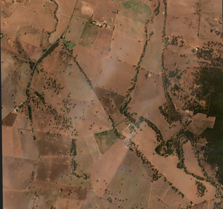
Seasonal & Yearly Change Analysis
How does your property vary across seasons? Is it consistent year to year?
Planning and Development Maps
Are any parts of your land identified as significant land under state or local government legislation?
Custom Maps
Can’t find a specific map online? Send us an email with what you are looking to have mapped and we can draw it for you.
Whether it’s of urban, rural, environmental or suburban areas, or for a student or professional project. We create affordable high quality, easy to read maps displaying exactly what you need.